
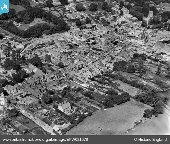
EPW021679 ENGLAND (1928). The town centre, Bodmin, 1928
© Copyright OpenStreetMap contributors and licensed by the OpenStreetMap Foundation. 2026. Cartography is licensed as CC BY-SA.
Nearby Images (7)
EPW021679

EPW039809

EPW039804

EPW021681

EPW021684

EPW039806

EPW021682

Details
| Title | [EPW021679] The town centre, Bodmin, 1928 |
| Reference | EPW021679 |
| Date | 24-June-1928 |
| Link | |
| Place name | BODMIN |
| Parish | BODMIN |
| District | |
| Country | ENGLAND |
| Easting / Northing | 206989, 67021 |
| Longitude / Latitude | -4.7202558781551, 50.470593808355 |
| National Grid Reference | SX070670 |
Pins
Be the first to add a comment to this image!