
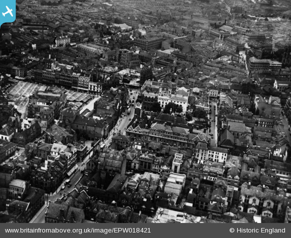
EPW018421 ENGLAND (1927). The Town Hall, Horsefair Street and environs, Leicester, 1927. This image has been produced from a print.
© Copyright OpenStreetMap contributors and licensed by the OpenStreetMap Foundation. 2026. Cartography is licensed as CC BY-SA.
Nearby Images (35)
EPW018421

EPW020892

EPW018436

EPW018431

EAW024240

EPW047868

EPW018412

EAW051834

EPW020824

EPW018422

EPW061211

EPW020819

EPW020817

EAW024242

EPW020822

EPW055011

EPW020815

EPW055002

EAW024241

EAW024244

EPW020816

EPW055010

EAW024239

EPW018433

EPW020826

EPW018415

EAW024243

EPW020814

EPW020825

EPW018461

EPW047645

EPW020895

EPW020818

EAW051830

EPW061213

Details
| Title | [EPW018421] The Town Hall, Horsefair Street and environs, Leicester, 1927. This image has been produced from a print. |
| Reference | EPW018421 |
| Date | 10-June-1927 |
| Link | |
| Place name | LEICESTER |
| Parish | |
| District | |
| Country | ENGLAND |
| Easting / Northing | 458827, 304384 |
| Longitude / Latitude | -1.1306759968369, 52.633663913582 |
| National Grid Reference | SK588044 |
Pins
Be the first to add a comment to this image!