
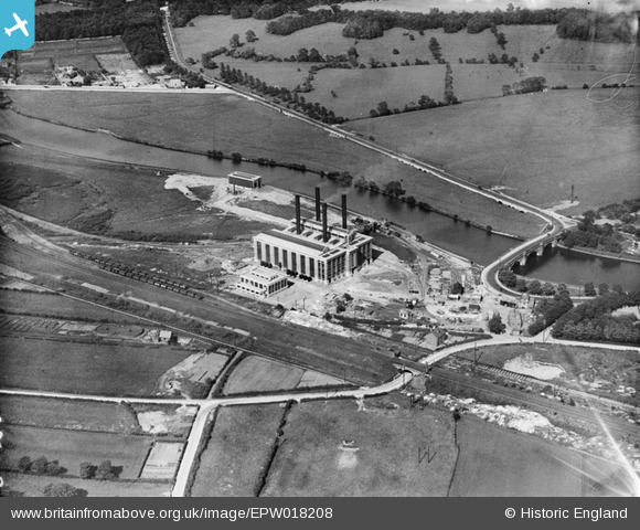
EPW018208 ENGLAND (1927). The Ferrybridge A power station, Ferrybridge, 1927
© Copyright OpenStreetMap contributors and licensed by the OpenStreetMap Foundation. 2026. Cartography is licensed as CC BY-SA.
Nearby Images (5)
EPW018208

EPW020768

EPW020769

EPW015441

EPW018209

Details
| Title | [EPW018208] The Ferrybridge A power station, Ferrybridge, 1927 |
| Reference | EPW018208 |
| Date | June-1927 |
| Link | |
| Place name | FERRYBRIDGE |
| Parish | |
| District | |
| Country | ENGLAND |
| Easting / Northing | 448172, 424707 |
| Longitude / Latitude | -1.2699827513996, 53.716326828111 |
| National Grid Reference | SE482247 |
Pins

ncbnik |
Monday 25th of April 2016 06:55:25 PM | |
|
ncbnik |
Monday 25th of April 2016 06:53:59 PM | |
|
MB |
Saturday 29th of September 2012 10:10:28 AM | |
|
MB |
Saturday 29th of September 2012 10:10:00 AM | |
|
MB |
Saturday 29th of September 2012 10:09:40 AM | |
|
MB |
Saturday 29th of September 2012 10:09:20 AM | |
|
MB |
Saturday 29th of September 2012 10:08:54 AM |