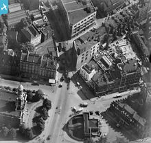
EPW016617 ENGLAND (1926). Holy Trinity Church, Great Portland Street underground station and the junction with Euston Road, Marylebone, 1926
    © Copyright OpenStreetMap contributors and licensed by the OpenStreetMap Foundation. 2025. Cartography is licensed as CC BY-SA.
  
Nearby Images (12)
Details
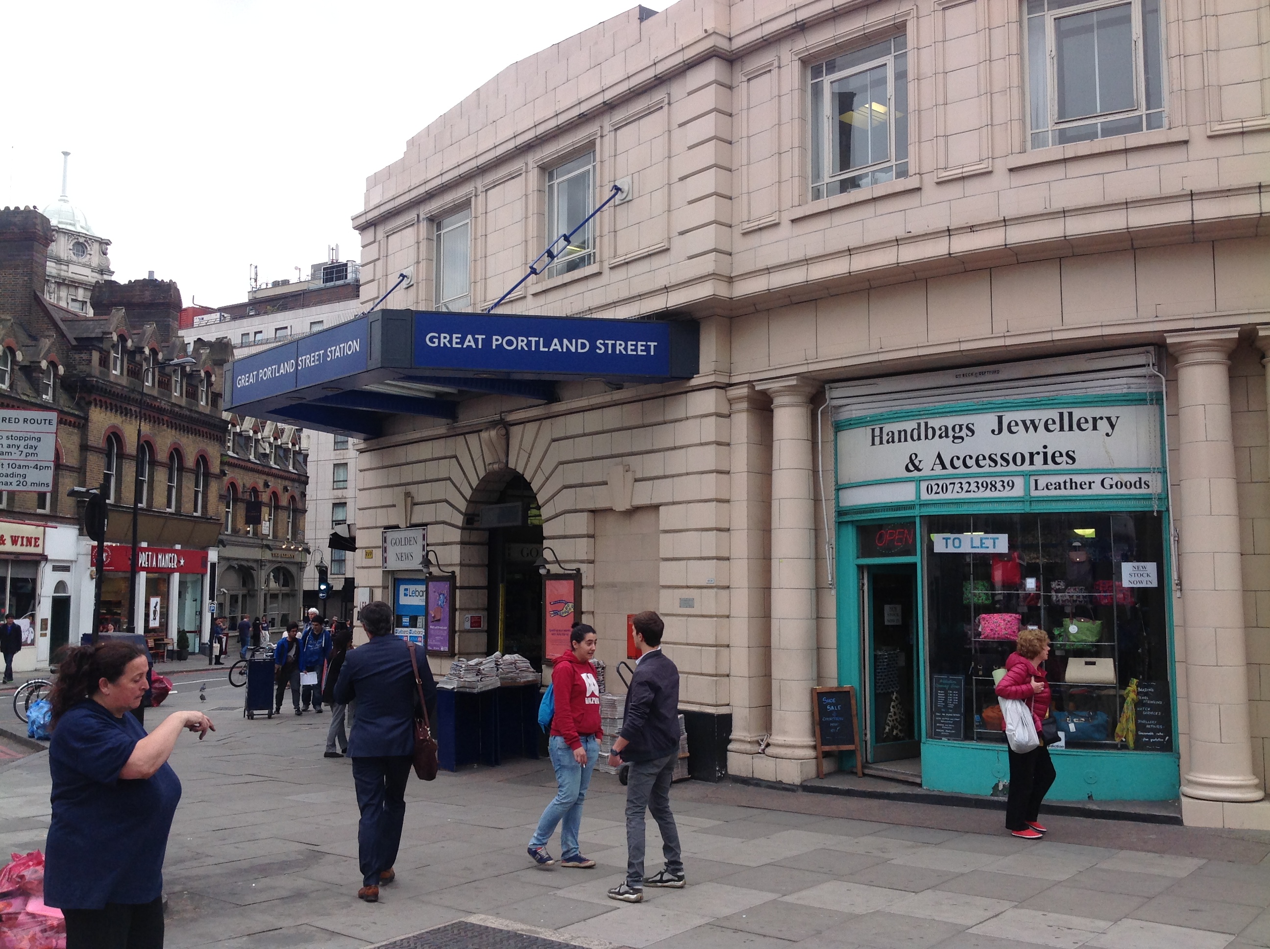
| Title | [EPW016617] Holy Trinity Church, Great Portland Street underground station and the junction with Euston Road, Marylebone, 1926 | 
| Reference | EPW016617 | 
| Date | August-1926 | 
| Link | |
| Place name | MARYLEBONE | 
| Parish | |
| District | |
| Country | ENGLAND | 
| Easting / Northing | 528918, 182174 | 
| Longitude / Latitude | -0.1415348467634, 51.523267304087 | 
| National Grid Reference | TQ289822 | 
Pins
| Class31 | Friday 4th of July 2014 08:48:19 PM | |
|   Alan McFaden | Thursday 5th of December 2013 05:19:09 PM | |
|  Regents Place - present location of |   picket08 | Thursday 14th of February 2013 06:14:41 PM | 
|  Clevelend Street |   picket08 | Thursday 14th of February 2013 06:14:11 PM | 
|  Bolsover Street - St Marylebone |   picket08 | Thursday 14th of February 2013 06:13:31 PM | 
|  Great Portland Street Tube Station |   picket08 | Thursday 14th of February 2013 06:13:03 PM | 
|  Was baptized there in 1947, a beautiful church. |   carole | Thursday 28th of June 2012 11:33:25 PM | 
| Wow...very impressive. |   Graham | Friday 24th of July 2020 10:24:44 PM | 
 
             
  ![[EPW016617] Holy Trinity Church, Great Portland Street underground station and the junction with Euston Road, Marylebone, 1926](http://britainfromabove.org.uk/sites/all/libraries/aerofilms-images/public/100x100/EPW/016/EPW016617.jpg) 
  
                                          ![[EPW016616] Holy Trinity Church and Great Portland Street underground station, Marylebone, 1926](http://britainfromabove.org.uk/sites/all/libraries/aerofilms-images/public/100x100/EPW/016/EPW016616.jpg) 
 ![[EPW016618] Holy Trinity Church, Great Portland Street underground station and the junction with Euston Road, Marylebone, 1926](http://britainfromabove.org.uk/sites/all/libraries/aerofilms-images/public/100x100/EPW/016/EPW016618.jpg) 
 ![[EPW015722] Regent's Park and view towards St Pancras, Bloomsbury, from the west, 1926](http://britainfromabove.org.uk/sites/all/libraries/aerofilms-images/public/100x100/EPW/015/EPW015722.jpg) 
 ![[EPW015723] Euston Road and environs, Bloomsbury, 1926](http://britainfromabove.org.uk/sites/all/libraries/aerofilms-images/public/100x100/EPW/015/EPW015723.jpg) 
 ![[EPW015724] Euston Road and environs, Bloomsbury, 1926](http://britainfromabove.org.uk/sites/all/libraries/aerofilms-images/public/100x100/EPW/015/EPW015724.jpg) 
 ![[EPW016615] Euston Road at the junction with Osnaburgh Street, Marylebone, 1926](http://britainfromabove.org.uk/sites/all/libraries/aerofilms-images/public/100x100/EPW/016/EPW016615.jpg) 
 ![[EPW015728] Euston Road and environs, Bloomsbury, 1926](http://britainfromabove.org.uk/sites/all/libraries/aerofilms-images/public/100x100/EPW/015/EPW015728.jpg) 
 ![[EPW015729] Regent's Park Square, Euston Road and environs, Bloomsbury, 1926](http://britainfromabove.org.uk/sites/all/libraries/aerofilms-images/public/100x100/EPW/015/EPW015729.jpg) 
 ![[EPW015725] Euston Road and environs, Bloomsbury, 1926](http://britainfromabove.org.uk/sites/all/libraries/aerofilms-images/public/100x100/EPW/015/EPW015725.jpg) 
 ![[EPW015727] Osnaburgh Street and environs, Regent's Park, 1926](http://britainfromabove.org.uk/sites/all/libraries/aerofilms-images/public/100x100/EPW/015/EPW015727.jpg) 
 ![[EPW045397] Portland Place and environs, Marylebone, 1934](http://britainfromabove.org.uk/sites/all/libraries/aerofilms-images/public/100x100/EPW/045/EPW045397.jpg) 
 
