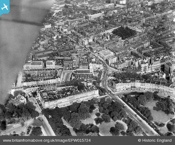
EPW015724 ENGLAND (1926). Euston Road and environs, Bloomsbury, 1926
    © Copyright OpenStreetMap contributors and licensed by the OpenStreetMap Foundation. 2025. Cartography is licensed as CC BY-SA.
  
Nearby Images (11)
Details
| Title | [EPW015724] Euston Road and environs, Bloomsbury, 1926 | 
| Reference | EPW015724 | 
| Date | May-1926 | 
| Link | |
| Place name | BLOOMSBURY | 
| Parish | |
| District | |
| Country | ENGLAND | 
| Easting / Northing | 528950, 182187 | 
| Longitude / Latitude | -0.14106904108559, 51.523376837894 | 
| National Grid Reference | TQ290822 | 
Pins
| Class31 | Saturday 29th of November 2014 07:57:59 PM | |
| Class31 | Saturday 29th of November 2014 07:57:13 PM | |
|  Shoolbred's department store |   Kea | Thursday 20th of February 2014 06:14:09 PM | 
|  Outer Circle | Class31 | Tuesday 12th of February 2013 10:41:16 PM | 
|  Marylebone Road | Class31 | Tuesday 12th of February 2013 10:40:36 PM | 
|  Park Crescent | Class31 | Tuesday 12th of February 2013 10:40:06 PM | 
|  Euston Road | Class31 | Tuesday 12th of February 2013 10:39:36 PM | 
|  Fitzroy Square Garden | Class31 | Tuesday 12th of February 2013 10:39:15 PM | 
User Comment Contributions
|   Great Portland Street |   Alan McFaden | Thursday 4th of December 2014 05:48:45 PM | 
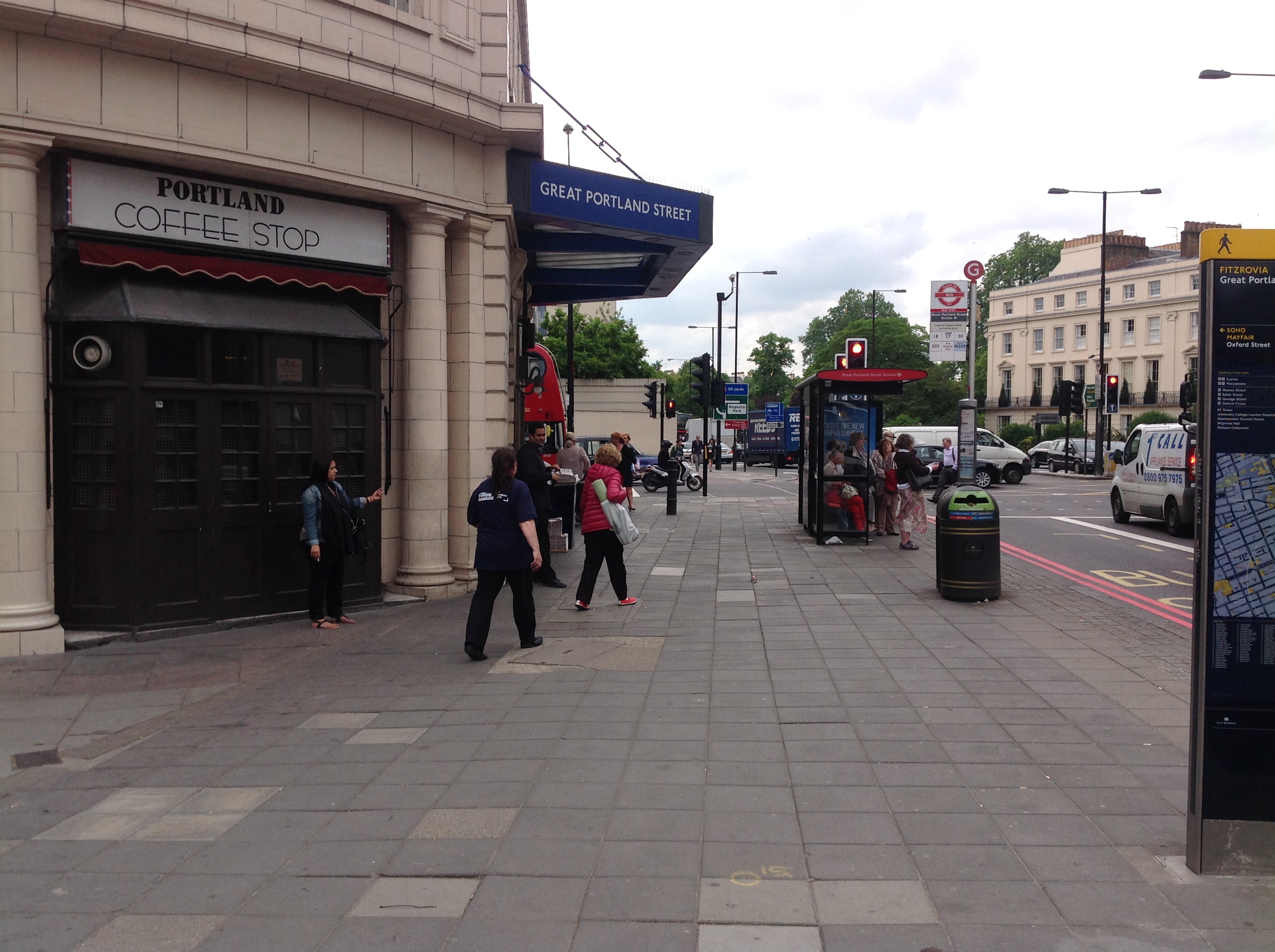
| Great Portland Street Underground 21/05/2014 | Class31 | Saturday 29th of November 2014 07:58:25 PM | 
|   Kea | Thursday 20th of February 2014 06:15:15 PM | 
 
             
  ![[EPW015724] Euston Road and environs, Bloomsbury, 1926](http://britainfromabove.org.uk/sites/all/libraries/aerofilms-images/public/100x100/EPW/015/EPW015724.jpg) 
  
                                          ![[EPW015723] Euston Road and environs, Bloomsbury, 1926](http://britainfromabove.org.uk/sites/all/libraries/aerofilms-images/public/100x100/EPW/015/EPW015723.jpg) 
 ![[EPW015722] Regent's Park and view towards St Pancras, Bloomsbury, from the west, 1926](http://britainfromabove.org.uk/sites/all/libraries/aerofilms-images/public/100x100/EPW/015/EPW015722.jpg) 
 ![[EPW015728] Euston Road and environs, Bloomsbury, 1926](http://britainfromabove.org.uk/sites/all/libraries/aerofilms-images/public/100x100/EPW/015/EPW015728.jpg) 
 ![[EPW016615] Euston Road at the junction with Osnaburgh Street, Marylebone, 1926](http://britainfromabove.org.uk/sites/all/libraries/aerofilms-images/public/100x100/EPW/016/EPW016615.jpg) 
 ![[EPW015729] Regent's Park Square, Euston Road and environs, Bloomsbury, 1926](http://britainfromabove.org.uk/sites/all/libraries/aerofilms-images/public/100x100/EPW/015/EPW015729.jpg) 
 ![[EPW016616] Holy Trinity Church and Great Portland Street underground station, Marylebone, 1926](http://britainfromabove.org.uk/sites/all/libraries/aerofilms-images/public/100x100/EPW/016/EPW016616.jpg) 
 ![[EPW016617] Holy Trinity Church, Great Portland Street underground station and the junction with Euston Road, Marylebone, 1926](http://britainfromabove.org.uk/sites/all/libraries/aerofilms-images/public/100x100/EPW/016/EPW016617.jpg) 
 ![[EPW016618] Holy Trinity Church, Great Portland Street underground station and the junction with Euston Road, Marylebone, 1926](http://britainfromabove.org.uk/sites/all/libraries/aerofilms-images/public/100x100/EPW/016/EPW016618.jpg) 
 ![[EPW015725] Euston Road and environs, Bloomsbury, 1926](http://britainfromabove.org.uk/sites/all/libraries/aerofilms-images/public/100x100/EPW/015/EPW015725.jpg) 
 ![[EPW015727] Osnaburgh Street and environs, Regent's Park, 1926](http://britainfromabove.org.uk/sites/all/libraries/aerofilms-images/public/100x100/EPW/015/EPW015727.jpg) 
 