
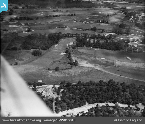
EPW016018 ENGLAND (1926). Wimbledon Golf Course and Caesar's Camp, Wimbledon, 1926
© Copyright OpenStreetMap contributors and licensed by the OpenStreetMap Foundation. 2026. Cartography is licensed as CC BY-SA.
Nearby Images (5)
EPW016018

EPW015720

EPW016015

EPW016016

EPW016017

Details
| Title | [EPW016018] Wimbledon Golf Course and Caesar's Camp, Wimbledon, 1926 |
| Reference | EPW016018 |
| Date | 30-June-1926 |
| Link | |
| Place name | WIMBLEDON |
| Parish | |
| District | |
| Country | ENGLAND |
| Easting / Northing | 522316, 170647 |
| Longitude / Latitude | -0.2406497591384, 51.421127958087 |
| National Grid Reference | TQ223706 |
Pins
Be the first to add a comment to this image!