
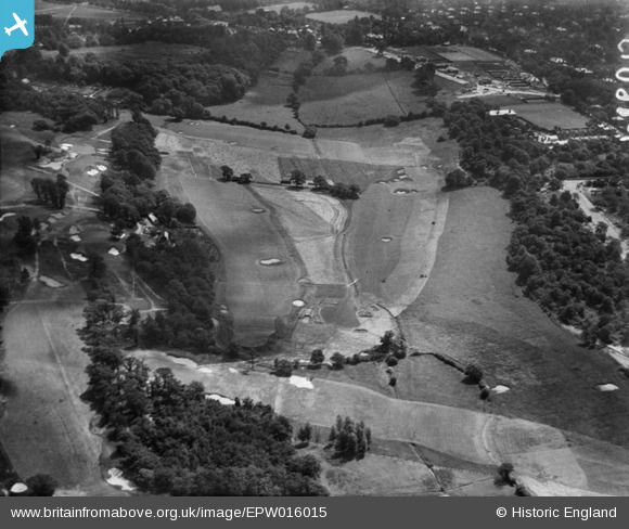
EPW016015 ENGLAND (1926). Wimbledon Golf Course, Wimbledon, 1926
© Copyright OpenStreetMap contributors and licensed by the OpenStreetMap Foundation. 2026. Cartography is licensed as CC BY-SA.
Nearby Images (3)
EPW016015

EPW016018

EPW015720

Details
| Title | [EPW016015] Wimbledon Golf Course, Wimbledon, 1926 |
| Reference | EPW016015 |
| Date | 30-June-1926 |
| Link | |
| Place name | WIMBLEDON |
| Parish | |
| District | |
| Country | ENGLAND |
| Easting / Northing | 522492, 170658 |
| Longitude / Latitude | -0.23811571977333, 51.421188816404 |
| National Grid Reference | TQ225707 |
Pins
Be the first to add a comment to this image!