
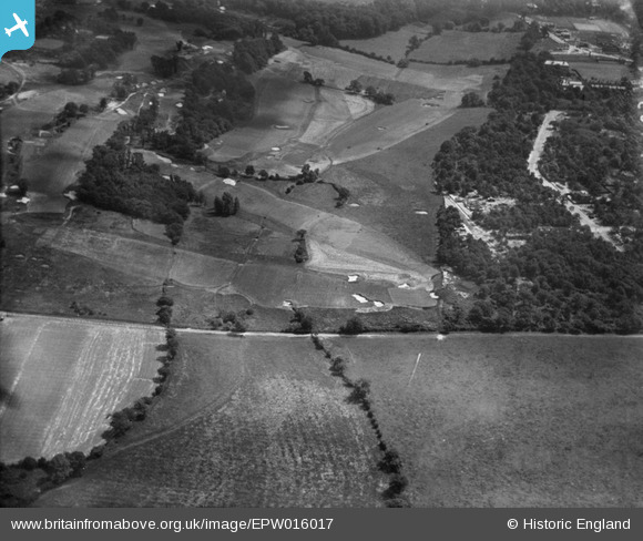
EPW016017 ENGLAND (1926). Wimbledon Golf Course, Wimbledon, 1926
© Copyright OpenStreetMap contributors and licensed by the OpenStreetMap Foundation. 2026. Cartography is licensed as CC BY-SA.
Nearby Images (6)
EPW016017

EPW016016

EPW015720

EPW015717

EPW016018

EPW057207

Details
| Title | [EPW016017] Wimbledon Golf Course, Wimbledon, 1926 |
| Reference | EPW016017 |
| Date | 30-June-1926 |
| Link | |
| Place name | WIMBLEDON |
| Parish | |
| District | |
| Country | ENGLAND |
| Easting / Northing | 522121, 170552 |
| Longitude / Latitude | -0.2434858947073, 51.420316113972 |
| National Grid Reference | TQ221706 |
Pins
Be the first to add a comment to this image!