
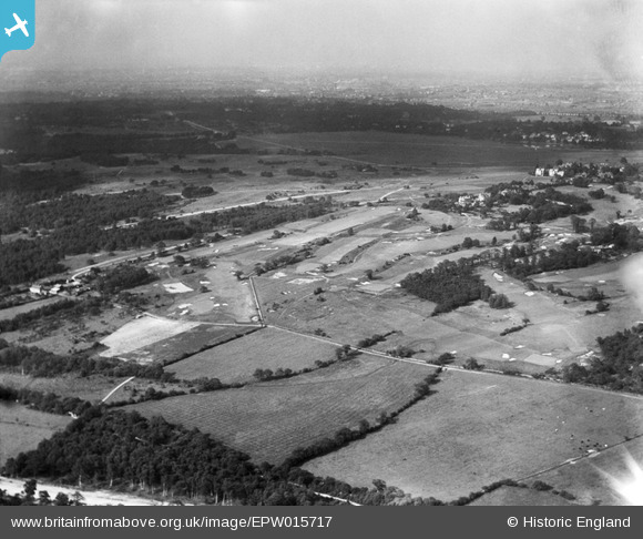
EPW015717 ENGLAND (1926). The Royal Wimbledon Common Golf Course and Caesar's Camp, Wimbledon Common, from the south-west, 1926
© Copyright OpenStreetMap contributors and licensed by the OpenStreetMap Foundation. 2026. Cartography is licensed as CC BY-SA.
Nearby Images (6)
EPW015717

EPW016016

EPW016017

EPW057207

EPW015718

EPW057209

Details
| Title | [EPW015717] The Royal Wimbledon Common Golf Course and Caesar's Camp, Wimbledon Common, from the south-west, 1926 |
| Reference | EPW015717 |
| Date | May-1926 |
| Link | |
| Place name | WIMBLEDON COMMON |
| Parish | |
| District | |
| Country | ENGLAND |
| Easting / Northing | 521945, 170614 |
| Longitude / Latitude | -0.24599475831788, 51.420911293024 |
| National Grid Reference | TQ219706 |
Pins
Be the first to add a comment to this image!