
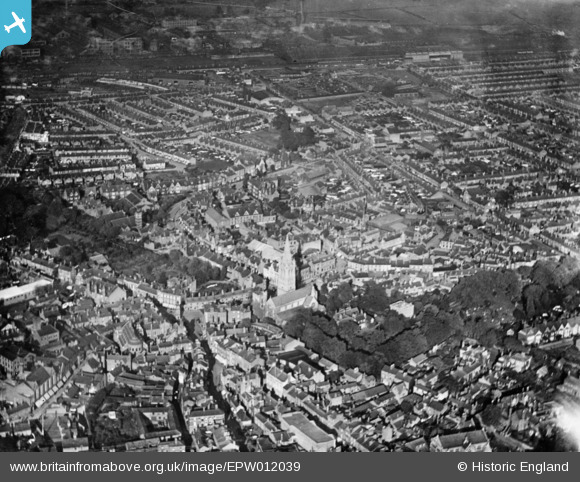
EPW012039 ENGLAND (1924). The town centre, Rugby, 1924. This image has been produced from a copy-negative.
© Copyright OpenStreetMap contributors and licensed by the OpenStreetMap Foundation. 2026. Cartography is licensed as CC BY-SA.
Nearby Images (6)
EPW012039

EPW010530

EPW033935

EPW001338

EPW033936

EPW021015

Details
| Title | [EPW012039] The town centre, Rugby, 1924. This image has been produced from a copy-negative. |
| Reference | EPW012039 |
| Date | September-1924 |
| Link | |
| Place name | RUGBY |
| Parish | |
| District | |
| Country | ENGLAND |
| Easting / Northing | 450493, 275352 |
| Longitude / Latitude | -1.2582271925704, 52.37349959493 |
| National Grid Reference | SP505754 |
Pins

Class31 |
Tuesday 5th of May 2015 05:32:09 PM | |

Philip |
Tuesday 2nd of December 2014 01:36:02 AM | |
|
Philip |
Tuesday 2nd of December 2014 01:29:14 AM | |
|
Philip |
Tuesday 2nd of December 2014 01:25:20 AM | |
|
Philip |
Tuesday 2nd of December 2014 01:20:47 AM |

User Comment Contributions
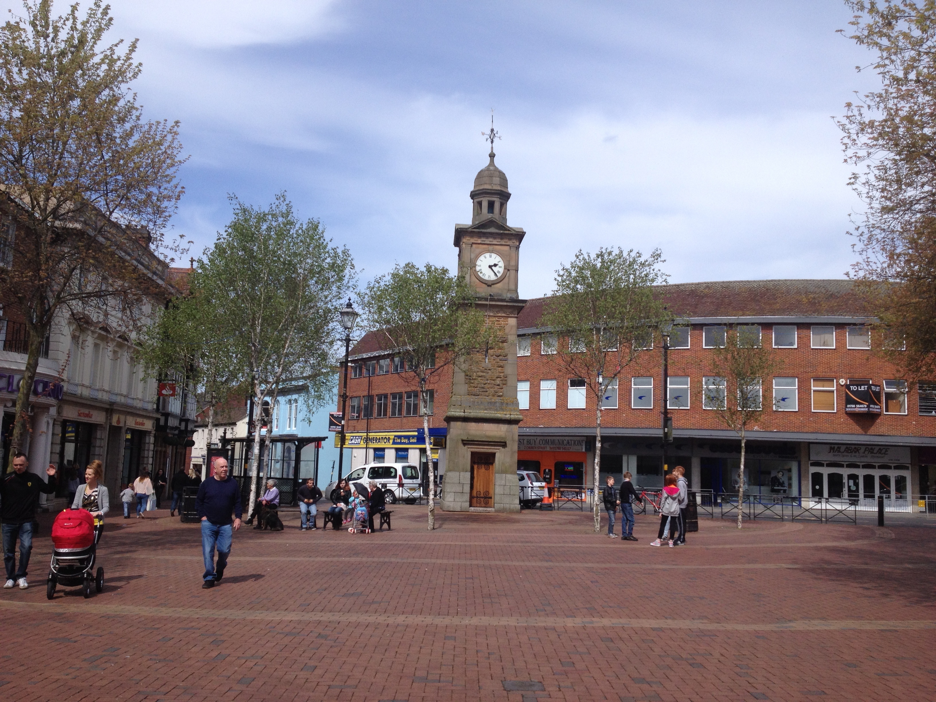
Clock Tower, Rugby, 04/05/2015 |
Class31 |
Tuesday 5th of May 2015 05:32:44 PM |