
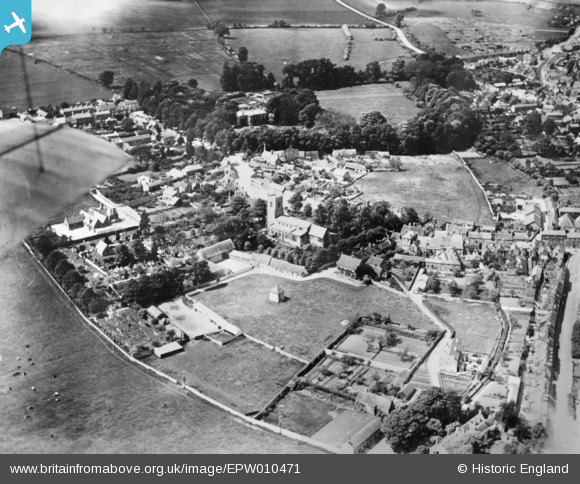
EPW010471 ENGLAND (1924). St Edburg's Church and environs, Bicester, 1924. This image has been produced from a copy-negative.
© Copyright OpenStreetMap contributors and licensed by the OpenStreetMap Foundation. 2026. Cartography is licensed as CC BY-SA.
Nearby Images (9)
EPW010471

EPW028275

EPW028268

EPW028274

EPW028269

EPW028267

EPW010472

EPW010470

EPW010467

Details
| Title | [EPW010471] St Edburg's Church and environs, Bicester, 1924. This image has been produced from a copy-negative. |
| Reference | EPW010471 |
| Date | 28-May-1924 |
| Link | |
| Place name | BICESTER |
| Parish | BICESTER |
| District | |
| Country | ENGLAND |
| Easting / Northing | 458301, 222273 |
| Longitude / Latitude | -1.1526393409326, 51.895515228651 |
| National Grid Reference | SP583223 |
Pins
Be the first to add a comment to this image!