
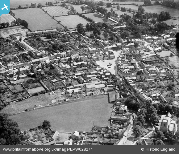
EPW028274 ENGLAND (1929). The town centre, Bicester, 1929
© Copyright OpenStreetMap contributors and licensed by the OpenStreetMap Foundation. 2026. Cartography is licensed as CC BY-SA.
Nearby Images (10)
EPW028274

EPW028267

EPW010470

EPW010467

EPW010472

EPW028270

EPW010471

EPW028275

EPW028268

EPW028276

Details
| Title | [EPW028274] The town centre, Bicester, 1929 |
| Reference | EPW028274 |
| Date | August-1929 |
| Link | |
| Place name | BICESTER |
| Parish | BICESTER |
| District | |
| Country | ENGLAND |
| Easting / Northing | 458492, 222399 |
| Longitude / Latitude | -1.14984224947, 51.896628064376 |
| National Grid Reference | SP585224 |
Pins
Be the first to add a comment to this image!