
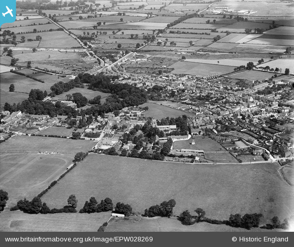
EPW028269 ENGLAND (1929). St Edburg's Church and the town, Bicester, from the south, 1929
© Copyright OpenStreetMap contributors and licensed by the OpenStreetMap Foundation. 2026. Cartography is licensed as CC BY-SA.
Nearby Images (4)
EPW028269

EPW028268

EPW010471

EPW028275

Details
| Title | [EPW028269] St Edburg's Church and the town, Bicester, from the south, 1929 |
| Reference | EPW028269 |
| Date | August-1929 |
| Link | |
| Place name | BICESTER |
| Parish | BICESTER |
| District | |
| Country | ENGLAND |
| Easting / Northing | 458255, 222043 |
| Longitude / Latitude | -1.1533467048203, 51.893452128719 |
| National Grid Reference | SP583220 |
Pins

Graham Yaxley |
Monday 19th of January 2015 10:49:12 PM |