
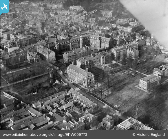
EPW009773 ENGLAND (1924). The Downing Site, Cambridge, 1924
© Copyright OpenStreetMap contributors and licensed by the OpenStreetMap Foundation. 2026. Cartography is licensed as CC BY-SA.
Nearby Images (23)
EPW009773

EPW009785

EPW025464

EPW009780

EPW000039

EPW000043

EPW045942

EPW045938

EPW045941

EPW045939

EAW014114

EPW045940

EAW002920

EAW018200

EPW000059

EPW025485

EPW000047

EPW000055

EPW009788

EAW018198

EPW009775

EAW018199

EAW018197

Details
| Title | [EPW009773] The Downing Site, Cambridge, 1924 |
| Reference | EPW009773 |
| Date | March-1924 |
| Link | |
| Place name | CAMBRIDGE |
| Parish | |
| District | |
| Country | ENGLAND |
| Easting / Northing | 545087, 258089 |
| Longitude / Latitude | 0.12328369780259, 52.201506792214 |
| National Grid Reference | TL451581 |
Pins

Peter Smith |
Friday 15th of March 2024 11:00:36 AM | |
|
Peter Smith |
Friday 15th of March 2024 11:00:05 AM | |
|
Peter Smith |
Friday 15th of March 2024 10:59:45 AM | |
|
Peter Smith |
Friday 15th of March 2024 10:58:52 AM | |
|
Peter Smith |
Friday 15th of March 2024 10:58:30 AM |