
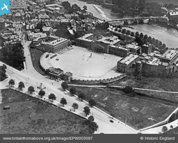
EPW003087 ENGLAND (1920). The Castle, Chester, 1920. This image has been produced from a copy-negative.
© Copyright OpenStreetMap contributors and licensed by the OpenStreetMap Foundation. 2026. Cartography is licensed as CC BY-SA.
Nearby Images (13)
EPW003087

EPW029882

EPW004001

EPW003092

EAW013773

EPW036916

EAW013775

EAW013774

EPW058005

EPW058008

EPW003088

EPW004002

EPW011201

Details
| Title | [EPW003087] The Castle, Chester, 1920. This image has been produced from a copy-negative. |
| Reference | EPW003087 |
| Date | July-1920 |
| Link | |
| Place name | CHESTER |
| Parish | CHESTER CASTLE |
| District | |
| Country | ENGLAND |
| Easting / Northing | 340438, 365811 |
| Longitude / Latitude | -2.8914495628662, 53.185768192593 |
| National Grid Reference | SJ404658 |
Pins
Be the first to add a comment to this image!