
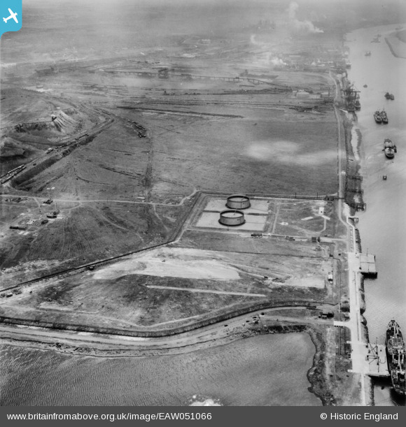
EAW051066 ENGLAND (1953). The Shell-Mex & BP Ltd Depot, Teesport, 1953
© Copyright OpenStreetMap contributors and licensed by the OpenStreetMap Foundation. 2026. Cartography is licensed as CC BY-SA.
Nearby Images (9)
EAW051066

EAW050695

EAW050694

EAW050687

EAW050696

EAW050693

EAW050692

EAW050686

EAW050688

Details
| Title | [EAW051066] The Shell-Mex & BP Ltd Depot, Teesport, 1953 |
| Reference | EAW051066 |
| Date | 15-July-1953 |
| Link | |
| Place name | TEESPORT |
| Parish | |
| District | |
| Country | ENGLAND |
| Easting / Northing | 454088, 522931 |
| Longitude / Latitude | -1.1627068944858, 54.598538729672 |
| National Grid Reference | NZ541229 |
Pins
Be the first to add a comment to this image!