
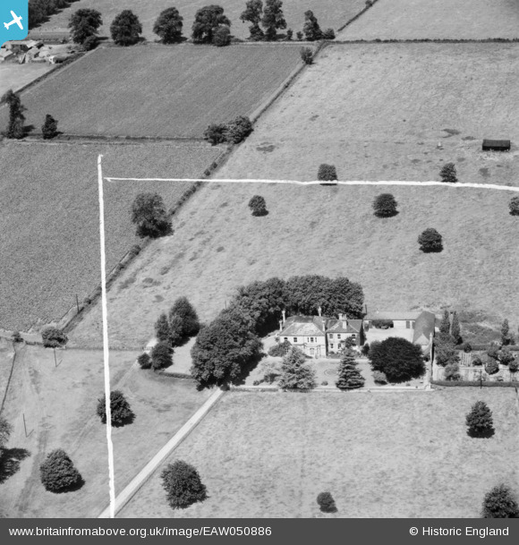
EAW050886 ENGLAND (1953). Manor Farm, Hartford, 1953. This image was marked by Aerofilms Ltd for photo editing.
© Copyright OpenStreetMap contributors and licensed by the OpenStreetMap Foundation. 2025. Cartography is licensed as CC BY-SA.
Nearby Images (7)
EAW050886

EAW050889

EAW050887

EAW050888

EAW050882

EAW050883

EAW050884

Details
| Title | [EAW050886] Manor Farm, Hartford, 1953. This image was marked by Aerofilms Ltd for photo editing. |
| Reference | EAW050886 |
| Date | 25-July-1953 |
| Link | |
| Place name | HARTFORD |
| Parish | HUNTINGDON |
| District | |
| Country | ENGLAND |
| Easting / Northing | 525739, 273066 |
| Longitude / Latitude | -0.15411083549679, 52.340854000034 |
| National Grid Reference | TL257731 |
Pins
Be the first to add a comment to this image!