
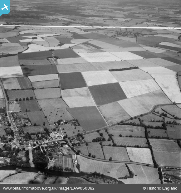
EAW050882 ENGLAND (1953). Manor Farm and the surrounding countryside, Hartford, from the south, 1953. This image was marked by Aerofilms Ltd for photo editing.
© Copyright OpenStreetMap contributors and licensed by the OpenStreetMap Foundation. 2025. Cartography is licensed as CC BY-SA.
Nearby Images (4)
EAW050882

EAW050887

EAW050889

EAW050886

Details
| Title | [EAW050882] Manor Farm and the surrounding countryside, Hartford, from the south, 1953. This image was marked by Aerofilms Ltd for photo editing. |
| Reference | EAW050882 |
| Date | 25-July-1953 |
| Link | |
| Place name | HARTFORD |
| Parish | HUNTINGDON |
| District | |
| Country | ENGLAND |
| Easting / Northing | 525981, 272986 |
| Longitude / Latitude | -0.15059020737638, 52.340079538501 |
| National Grid Reference | TL260730 |
Pins
Be the first to add a comment to this image!