
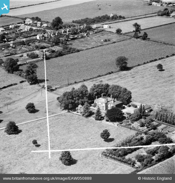
EAW050888 ENGLAND (1953). Manor Farm, Hartford, 1953. This image was marked by Aerofilms Ltd for photo editing.
© Copyright OpenStreetMap contributors and licensed by the OpenStreetMap Foundation. 2025. Cartography is licensed as CC BY-SA.
Nearby Images (6)
EAW050888

EAW050886

EAW050889

EAW050887

EAW050883

EAW050884

Details
| Title | [EAW050888] Manor Farm, Hartford, 1953. This image was marked by Aerofilms Ltd for photo editing. |
| Reference | EAW050888 |
| Date | 25-July-1953 |
| Link | |
| Place name | HARTFORD |
| Parish | HUNTINGDON |
| District | |
| Country | ENGLAND |
| Easting / Northing | 525716, 273041 |
| Longitude / Latitude | -0.15445764951904, 52.34063460919 |
| National Grid Reference | TL257730 |
Pins

Sapley man |
Friday 22nd of January 2021 04:59:06 PM |