
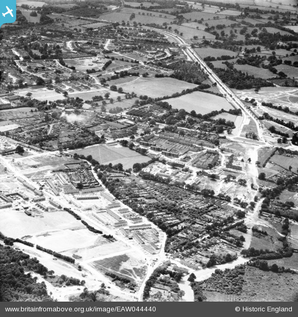
EAW044440 ENGLAND (1952). The West Green and Northgate areas, Crawley, from the north-east, 1952
© Copyright OpenStreetMap contributors and licensed by the OpenStreetMap Foundation. 2025. Cartography is licensed as CC BY-SA.
Nearby Images (3)
EAW044440

EAW050913

EAW050914

Details
| Title | [EAW044440] The West Green and Northgate areas, Crawley, from the north-east, 1952 |
| Reference | EAW044440 |
| Date | 27-June-1952 |
| Link | |
| Place name | CRAWLEY |
| Parish | |
| District | |
| Country | ENGLAND |
| Easting / Northing | 527592, 137675 |
| Longitude / Latitude | -0.17657440370327, 51.123603449702 |
| National Grid Reference | TQ276377 |
Pins
Be the first to add a comment to this image!