
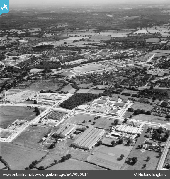
EAW050914 ENGLAND (1953). Factories around Magpie Wood and Manor Royal, Crawley, 1953
© Copyright OpenStreetMap contributors and licensed by the OpenStreetMap Foundation. 2025. Cartography is licensed as CC BY-SA.
Nearby Images (2)
EAW050914

EAW044440

Details
| Title | [EAW050914] Factories around Magpie Wood and Manor Royal, Crawley, 1953 |
| Reference | EAW050914 |
| Date | 27-July-1953 |
| Link | |
| Place name | CRAWLEY |
| Parish | |
| District | |
| Country | ENGLAND |
| Easting / Northing | 527577, 137893 |
| Longitude / Latitude | -0.1767114865203, 51.125566289987 |
| National Grid Reference | TQ276379 |
Pins
Be the first to add a comment to this image!