
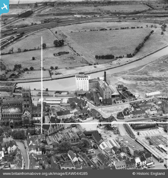
EAW044185 ENGLAND (1952). The Thomas Hanley and Sons Ltd (J. Rank Ltd) Flour Mill and environs, Doncaster, 1952. This image was marked by Aerofilms Ltd for photo editing.
© Copyright OpenStreetMap contributors and licensed by the OpenStreetMap Foundation. 2026. Cartography is licensed as CC BY-SA.
Nearby Images (25)
EAW044185
 Flour Mill and environs, Doncaster, 1952. This image was marked by Aerofilms Ltd for photo editing.")
EPW012757

EAW044186
 Flour Mill, St George's Church and environs, Doncaster, 1952. This image was marked by Aerofilms Ltd for photo editing.")
EAW044181
 Flour Mill and environs, Doncaster, 1952. This image was marked by Aerofilms Ltd for photo editing.")
EAW044182
 Flour Mill and St George's Church, Doncaster, 1952. This image was marked by Aerofilms Ltd for photo editing.")
EAW043785

EAW044179
 Flour Mill and St George's Church, Doncaster, 1952. This image was marked by Aerofilms Ltd for photo editing.")
EAW043792

EAW044184
 Flour Mill and St George's Church, Doncaster, 1952. This image was marked by Aerofilms Ltd for photo editing.")
EAW044180
 Flour Mill and environs, Doncaster, 1952. This image was marked by Aerofilms Ltd for photo editing.")
EAW043790

EAW044183
 Flour Mill and St George's Church, Doncaster, 1952. This image was marked by Aerofilms Ltd for photo editing.")
EAW044178
 Flour Mill and environs, Doncaster, 1952. This image was marked by Aerofilms Ltd for photo editing.")
EAW043788

EAW043787

EAW043789

EPW061934

EPW012772

EAW043786

EAW043791

EPW061932

EPW012767

EPW061937

EPW012764

EPW012776

Details
| Title | [EAW044185] The Thomas Hanley and Sons Ltd (J. Rank Ltd) Flour Mill and environs, Doncaster, 1952. This image was marked by Aerofilms Ltd for photo editing. |
| Reference | EAW044185 |
| Date | 23-June-1952 |
| Link | |
| Place name | DONCASTER |
| Parish | |
| District | |
| Country | ENGLAND |
| Easting / Northing | 457449, 403686 |
| Longitude / Latitude | -1.1332913265545, 53.526446000008 |
| National Grid Reference | SE574037 |
Pins
Be the first to add a comment to this image!