
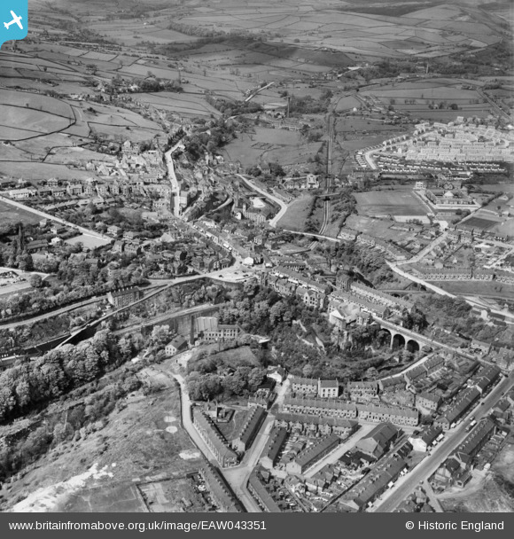
EAW043351 ENGLAND (1952). The town, New Mills, 1952
© Copyright OpenStreetMap contributors and licensed by the OpenStreetMap Foundation. 2026. Cartography is licensed as CC BY-SA.
Nearby Images (9)
EAW043351

EAW043353

EAW002158

EAW043352

EPW014237

EPW014236

EPW014222

EAW002160

EPW014223

Details
| Title | [EAW043351] The town, New Mills, 1952 |
| Reference | EAW043351 |
| Date | 16-May-1952 |
| Link | |
| Place name | NEW MILLS |
| Parish | NEW MILLS |
| District | |
| Country | ENGLAND |
| Easting / Northing | 399997, 385425 |
| Longitude / Latitude | -2.0000450884022, 53.365429052044 |
| National Grid Reference | SJ1000854 |
