
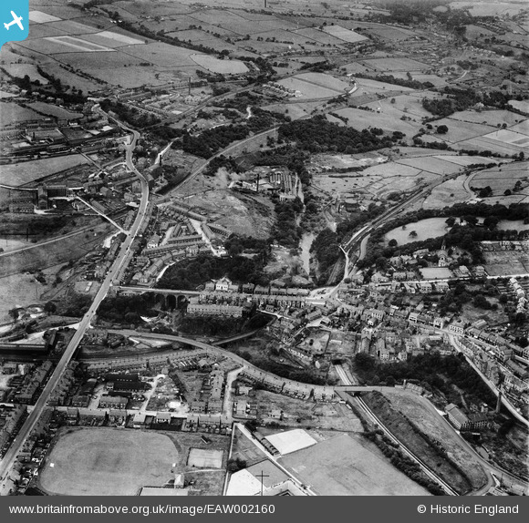
EAW002160 ENGLAND (1946). Union Road and environs, New Mills, 1946
© Copyright OpenStreetMap contributors and licensed by the OpenStreetMap Foundation. 2026. Cartography is licensed as CC BY-SA.
Nearby Images (4)
EAW002160

EAW043351

EAW002158

EAW043353

Details
| Title | [EAW002160] Union Road and environs, New Mills, 1946 |
| Reference | EAW002160 |
| Date | 1-August-1946 |
| Link | |
| Place name | NEW MILLS |
| Parish | NEW MILLS |
| District | |
| Country | ENGLAND |
| Easting / Northing | 399844, 385231 |
| Longitude / Latitude | -2.0023445011754, 53.363685033826 |
| National Grid Reference | SJ998852 |
