
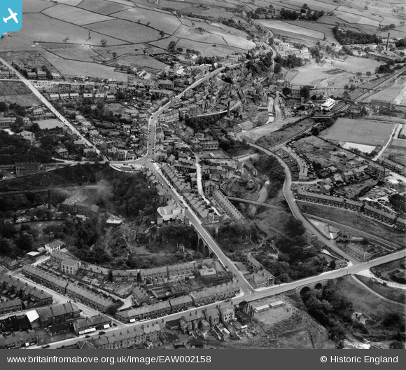
EAW002158 ENGLAND (1946). Union Road and environs, New Mills, 1946
© Copyright OpenStreetMap contributors and licensed by the OpenStreetMap Foundation. 2026. Cartography is licensed as CC BY-SA.
Nearby Images (7)
EAW002158

EAW043351

EAW043353

EPW014237

EPW014236

EAW002160

EAW043352

Details
| Title | [EAW002158] Union Road and environs, New Mills, 1946 |
| Reference | EAW002158 |
| Date | 1-August-1946 |
| Link | |
| Place name | NEW MILLS |
| Parish | NEW MILLS |
| District | |
| Country | ENGLAND |
| Easting / Northing | 400046, 385388 |
| Longitude / Latitude | -1.9993086498837, 53.365096432448 |
| National Grid Reference | SK000854 |
