
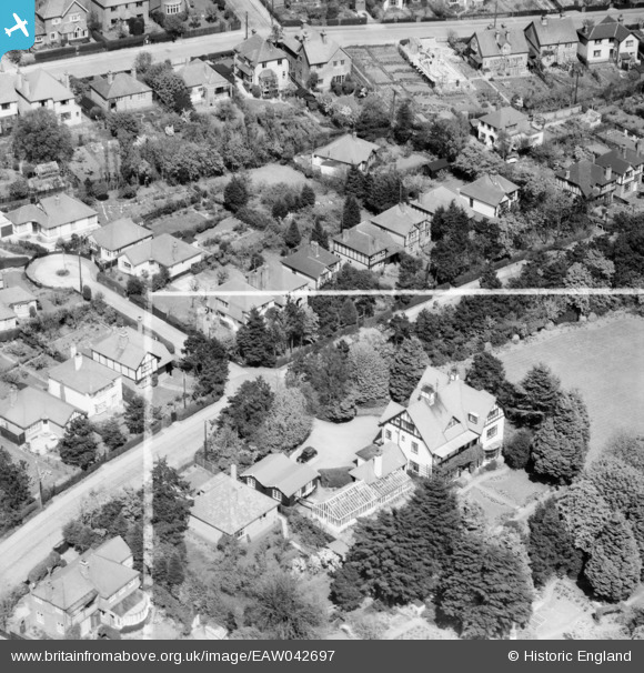
EAW042697 ENGLAND (1952). 32 Kingsdown Park, Tankerton, 1952. This image was marked by Aerofilms Ltd for photo editing.
© Copyright OpenStreetMap contributors and licensed by the OpenStreetMap Foundation. 2026. Cartography is licensed as CC BY-SA.
Nearby Images (12)
EAW042697

EAW042699

EAW042695

EAW042692

EAW042691

EAW042693

EAW042698

EAW042696

EAW042694

EPW018622

EPW000653
 and environs, Whitstable, from the east, 1920. This image has been produced from a print.")
EPW018621

Details
| Title | [EAW042697] 32 Kingsdown Park, Tankerton, 1952. This image was marked by Aerofilms Ltd for photo editing. |
| Reference | EAW042697 |
| Date | 25-April-1952 |
| Link | |
| Place name | TANKERTON |
| Parish | |
| District | |
| Country | ENGLAND |
| Easting / Northing | 611651, 167006 |
| Longitude / Latitude | 1.0406078873811, 51.362124670839 |
| National Grid Reference | TR117670 |
Pins
Be the first to add a comment to this image!