
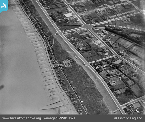
EPW018621 ENGLAND (1927). Tankerton Circus, Whitstable, 1927
© Copyright OpenStreetMap contributors and licensed by the OpenStreetMap Foundation. 2026. Cartography is licensed as CC BY-SA.
Nearby Images (13)
EPW018621

EPW035503

EPW000653
 and environs, Whitstable, from the east, 1920. This image has been produced from a print.")
EPW009154

EAW023139

EPW018622

EAW023142

EAW023143

EAW042697

EAW023140

EAW042695

EAW042699

EAW023138

Details
| Title | [EPW018621] Tankerton Circus, Whitstable, 1927 |
| Reference | EPW018621 |
| Date | 22-June-1927 |
| Link | |
| Place name | WHITSTABLE |
| Parish | |
| District | |
| Country | ENGLAND |
| Easting / Northing | 611717, 167231 |
| Longitude / Latitude | 1.0416885806395, 51.364120583899 |
| National Grid Reference | TR117672 |
Pins

Sparky |
Sunday 9th of December 2018 07:30:18 PM | |
|
Sparky |
Friday 29th of December 2017 11:32:16 PM | |
|
Sparky |
Sunday 13th of August 2017 12:46:34 PM | |
|
Sparky |
Sunday 13th of August 2017 12:43:12 PM | |
|
Sparky |
Sunday 13th of August 2017 12:40:51 PM | |
|
Sparky |
Sunday 13th of August 2017 12:40:25 PM | |
|
Sparky |
Sunday 13th of August 2017 12:39:47 PM | |
|
Sparky |
Sunday 13th of August 2017 12:38:17 PM | |

Maurice |
Friday 25th of January 2013 07:37:32 AM | |
|
Maurice |
Friday 25th of January 2013 07:27:02 AM | |
|
Maurice |
Friday 25th of January 2013 07:24:35 AM | |

J B Pearse |
Sunday 6th of January 2013 12:27:16 PM | |
|
J B Pearse |
Sunday 6th of January 2013 12:25:51 PM | |
|
jif |
Tuesday 10th of July 2012 11:00:45 AM |
User Comment Contributions
Never seen such an early photo of st Anne's Rd. |
state studio |
Friday 25th of April 2014 07:41:26 PM |