
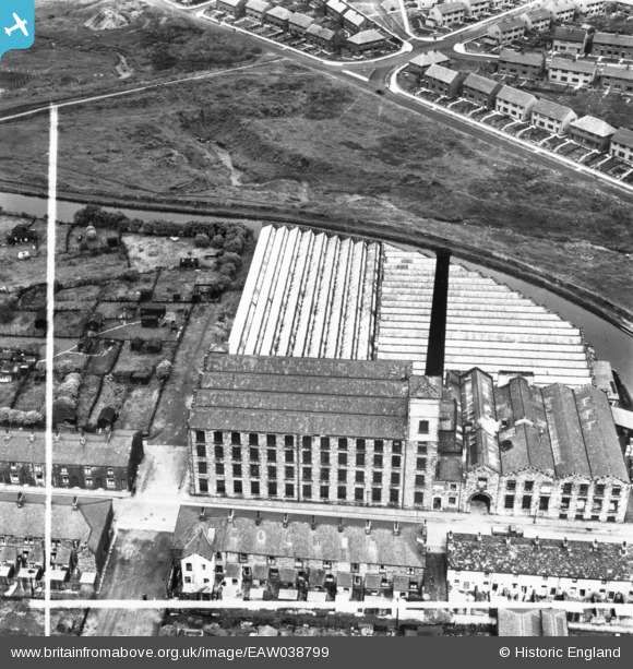
EAW038799 ENGLAND (1951). Rose Grove Mill, Rose Grove, 1951. This image has been produced from a print marked by Aerofilms Ltd for photo editing.
© Copyright OpenStreetMap contributors and licensed by the OpenStreetMap Foundation. 2026. Cartography is licensed as CC BY-SA.
Nearby Images (11)
EAW038799

EAW038802

EAW038796

EAW038797

EAW038800

EAW038795

EAW038798

EAW038801

EAW039610

EAW039611

EAW039609

Details
| Title | [EAW038799] Rose Grove Mill, Rose Grove, 1951. This image has been produced from a print marked by Aerofilms Ltd for photo editing. |
| Reference | EAW038799 |
| Date | 15-August-1951 |
| Link | |
| Place name | ROSE GROVE |
| Parish | |
| District | |
| Country | ENGLAND |
| Easting / Northing | 381923, 432663 |
| Longitude / Latitude | -2.274422147483, 53.789753730622 |
| National Grid Reference | SD819327 |
