
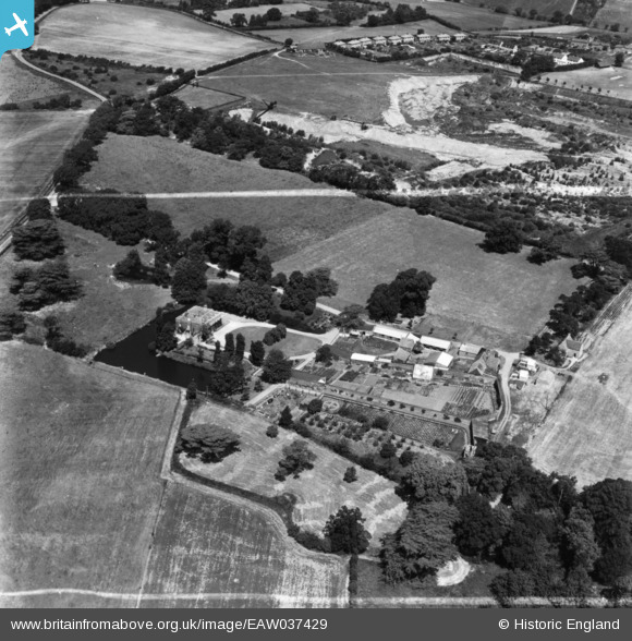
EAW037429 ENGLAND (1951). East Donyland Hall, Rowhedge, 1951. This image has been produced from a print marked by Aerofilms Ltd for photo editing.
© Copyright OpenStreetMap contributors and licensed by the OpenStreetMap Foundation. 2026. Cartography is licensed as CC BY-SA.
Nearby Images (16)
EAW037429

EAW016448

EAW015337

EAW015338

EAW037425

EAW037422

EAW037426

EAW037428

EAW015339

EAW016447

EAW016446

EAW037424

EAW037427

EAW037423

EAW016449

EAW016450

Details
| Title | [EAW037429] East Donyland Hall, Rowhedge, 1951. This image has been produced from a print marked by Aerofilms Ltd for photo editing. |
| Reference | EAW037429 |
| Date | 2-July-1951 |
| Link | |
| Place name | ROWHEDGE |
| Parish | EAST DONYLAND |
| District | |
| Country | ENGLAND |
| Easting / Northing | 602708, 220997 |
| Longitude / Latitude | 0.94353093663775, 51.850257747101 |
| National Grid Reference | TM027210 |
Pins
Be the first to add a comment to this image!