
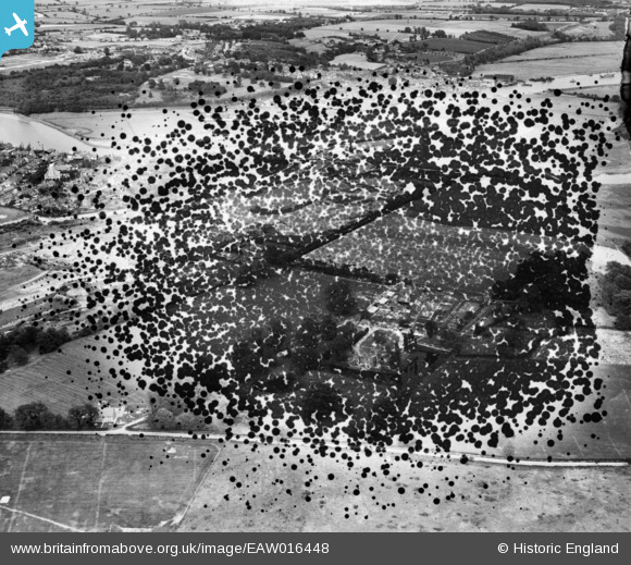
EAW016448 ENGLAND (1948). East Donyland Hall and surrounding countryside, Rowhedge, from the south-west, 1948. This image has been produced from a damaged negative.
© Copyright OpenStreetMap contributors and licensed by the OpenStreetMap Foundation. 2026. Cartography is licensed as CC BY-SA.
Nearby Images (16)
EAW016448

EAW037422

EAW037429

EAW037425

EAW015338

EAW015337

EAW037426

EAW015339

EAW037424

EAW037427

EAW037428

EAW037423

EAW016447

EAW016449

EAW016446

EAW016450

Details
| Title | [EAW016448] East Donyland Hall and surrounding countryside, Rowhedge, from the south-west, 1948. This image has been produced from a damaged negative. |
| Reference | EAW016448 |
| Date | 9-June-1948 |
| Link | |
| Place name | ROWHEDGE |
| Parish | EAST DONYLAND |
| District | |
| Country | ENGLAND |
| Easting / Northing | 602667, 220996 |
| Longitude / Latitude | 0.94293583559664, 51.850263653529 |
| National Grid Reference | TM027210 |
Pins

woodsy007 |
Thursday 24th of July 2014 06:43:49 PM | |
|
woodsy007 |
Thursday 24th of July 2014 06:41:47 PM | |
|
woodsy007 |
Thursday 24th of July 2014 06:33:02 PM | |
|
woodsy007 |
Thursday 24th of July 2014 06:20:10 PM | |
|
woodsy007 |
Thursday 24th of July 2014 06:19:02 PM |