
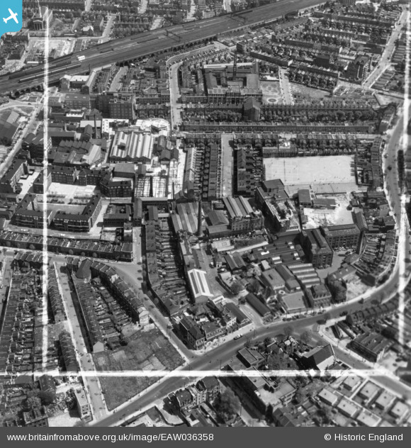
EAW036358 ENGLAND (1951). Alscot Road, the Eonia Soap Works and environs, Bermondsey, 1951. This image has been produced from a print marked by Aerofilms Ltd for photo editing.
© Copyright OpenStreetMap contributors and licensed by the OpenStreetMap Foundation. 2026. Cartography is licensed as CC BY-SA.
Nearby Images (17)
EAW036358

EAW036363

EAW036360

EAW036362

EAW036368

EAW036361

EAW036364

EAW036365

EAW036367

EAW036359

EAW036366

EAW041825

EPW060775

EPW055345

EAW041822

EAW041816

EAW041826

Details
| Title | [EAW036358] Alscot Road, the Eonia Soap Works and environs, Bermondsey, 1951. This image has been produced from a print marked by Aerofilms Ltd for photo editing. |
| Reference | EAW036358 |
| Date | 25-May-1951 |
| Link | |
| Place name | BERMONDSEY |
| Parish | |
| District | |
| Country | ENGLAND |
| Easting / Northing | 533926, 179000 |
| Longitude / Latitude | -0.070589116151928, 51.493575793316 |
| National Grid Reference | TQ339790 |
Pins

Leslie B |
Thursday 14th of September 2017 05:15:44 PM | |
|
Leslie B |
Thursday 14th of September 2017 05:12:57 PM |