
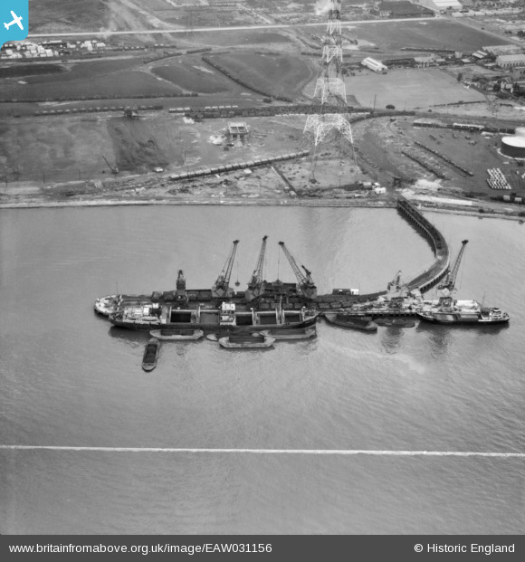
EAW031156 ENGLAND (1950). The jetty at Horse Shoe Corner, Dagenham, 1950. This image was marked by Aerofilms Ltd for photo editing.
© Copyright OpenStreetMap contributors and licensed by the OpenStreetMap Foundation. 2026. Cartography is licensed as CC BY-SA.
Nearby Images (14)
EAW031156

EAW046774

EAW046777

EAW046772

EPW021390

EAW031160

EAW046776

EAW046625

EPW021388

EAW046773

EAW046623

EAW046624

EAW046778

EAW046780

Details
| Title | [EAW031156] The jetty at Horse Shoe Corner, Dagenham, 1950. This image was marked by Aerofilms Ltd for photo editing. |
| Reference | EAW031156 |
| Date | 25-July-1950 |
| Link | |
| Place name | DAGENHAM |
| Parish | |
| District | |
| Country | ENGLAND |
| Easting / Northing | 548408, 181967 |
| Longitude / Latitude | 0.13914642587932, 51.516621609507 |
| National Grid Reference | TQ484820 |
Pins
Be the first to add a comment to this image!