
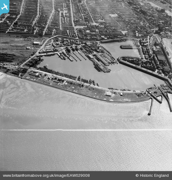
EAW029008 ENGLAND (1950). Grimsby Fish Docks, Grimsby, 1950. This image was marked by Aerofilms Ltd for photo editing.
© Copyright OpenStreetMap contributors and licensed by the OpenStreetMap Foundation. 2026. Cartography is licensed as CC BY-SA.
Nearby Images (4)
EAW029008

EPW053384

EAW029007

EAW040600

Details
| Title | [EAW029008] Grimsby Fish Docks, Grimsby, 1950. This image was marked by Aerofilms Ltd for photo editing. |
| Reference | EAW029008 |
| Date | 10-May-1950 |
| Link | |
| Place name | GRIMSBY |
| Parish | |
| District | |
| Country | ENGLAND |
| Easting / Northing | 528463, 411108 |
| Longitude / Latitude | -0.059371112843113, 53.580566448068 |
| National Grid Reference | TA285111 |
Pins

cptpies |
Tuesday 22nd of January 2019 07:55:31 AM | |
|
cptpies |
Tuesday 22nd of January 2019 07:50:09 AM | |
|
redmist |
Wednesday 31st of October 2018 01:38:16 PM | |

Class31 |
Monday 3rd of March 2014 07:33:12 PM | |
|
Class31 |
Monday 3rd of March 2014 06:01:22 PM |