
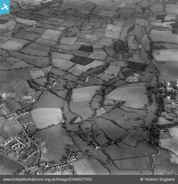
EAW027991 ENGLAND (1950). Countryside between Cutbush Lane and the River Lodden, Shinfield, 1950. This image has been produced from a print.
© Copyright OpenStreetMap contributors and licensed by the OpenStreetMap Foundation. 2026. Cartography is licensed as CC BY-SA.
Nearby Images (5)
EAW027991

EAW027997

EAW027996

EAW027995

EAW027737

Details
| Title | [EAW027991] Countryside between Cutbush Lane and the River Lodden, Shinfield, 1950. This image has been produced from a print. |
| Reference | EAW027991 |
| Date | 17-February-1950 |
| Link | |
| Place name | SHINFIELD |
| Parish | SHINFIELD |
| District | |
| Country | ENGLAND |
| Easting / Northing | 474320, 168581 |
| Longitude / Latitude | -0.93126978526169, 51.41088064301 |
| National Grid Reference | SU743686 |
Pins
Be the first to add a comment to this image!