
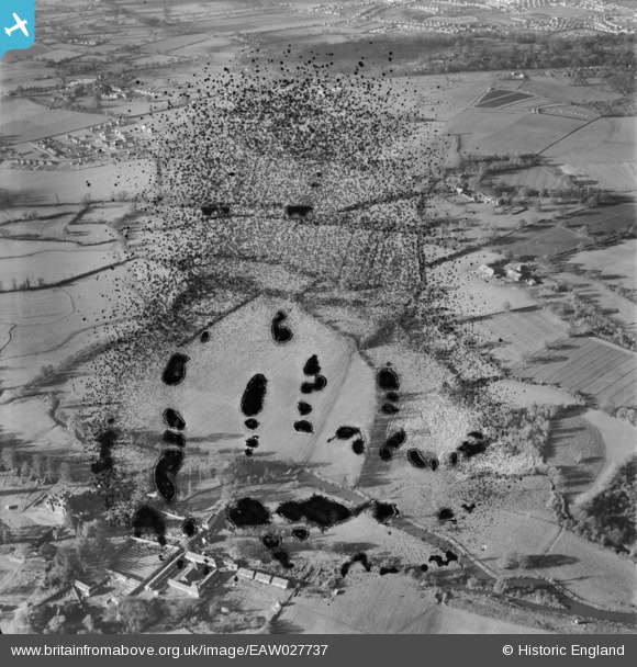
EAW027737 ENGLAND (1949). Arborfield Hall Farm looking towards Shinfield Grange, Shinfield, 1949. This image has been produced from a damaged negative.
© Copyright OpenStreetMap contributors and licensed by the OpenStreetMap Foundation. 2026. Cartography is licensed as CC BY-SA.
Nearby Images (3)
EAW027737

EAW027753

EAW027991

Details
| Title | [EAW027737] Arborfield Hall Farm looking towards Shinfield Grange, Shinfield, 1949. This image has been produced from a damaged negative. |
| Reference | EAW027737 |
| Date | 2-December-1949 |
| Link | |
| Place name | SHINFIELD |
| Parish | SHINFIELD |
| District | |
| Country | ENGLAND |
| Easting / Northing | 474435, 168397 |
| Longitude / Latitude | -0.92965501419434, 51.409211196734 |
| National Grid Reference | SU744684 |
Pins
Be the first to add a comment to this image!