
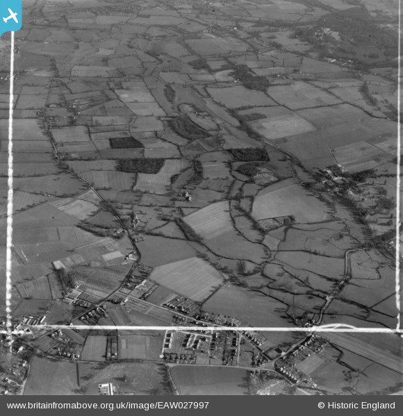
EAW027997 ENGLAND (1950). Shinfield Grange and surrounding countryside, Shinfield, 1950. This image has been produced from a print marked by Aerofilms Ltd for photo editing.
© Copyright OpenStreetMap contributors and licensed by the OpenStreetMap Foundation. 2026. Cartography is licensed as CC BY-SA.
Nearby Images (2)
EAW027997

EAW027991

Details
| Title | [EAW027997] Shinfield Grange and surrounding countryside, Shinfield, 1950. This image has been produced from a print marked by Aerofilms Ltd for photo editing. |
| Reference | EAW027997 |
| Date | 17-February-1950 |
| Link | |
| Place name | SHINFIELD |
| Parish | SHINFIELD |
| District | |
| Country | ENGLAND |
| Easting / Northing | 474433, 168653 |
| Longitude / Latitude | -0.92963001901981, 51.411513174313 |
| National Grid Reference | SU744687 |
Pins
Be the first to add a comment to this image!