
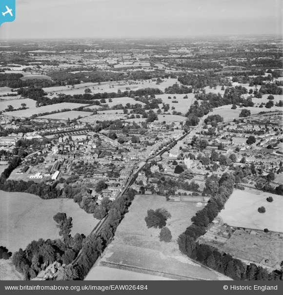
EAW026484 ENGLAND (1949). The town, Beaconsfield, from the south-west, 1949
© Copyright OpenStreetMap contributors and licensed by the OpenStreetMap Foundation. 2026. Cartography is licensed as CC BY-SA.
Nearby Images (4)
EAW026484

EAW026485

EPW052757

EPW054667

Details
| Title | [EAW026484] The town, Beaconsfield, from the south-west, 1949 |
| Reference | EAW026484 |
| Date | 10-September-1949 |
| Link | |
| Place name | BEACONSFIELD |
| Parish | BEACONSFIELD |
| District | |
| Country | ENGLAND |
| Easting / Northing | 494283, 189989 |
| Longitude / Latitude | -0.63855259361734, 51.600369403805 |
| National Grid Reference | SU943900 |
Pins

bondi |
Wednesday 20th of April 2016 01:51:21 PM | |
|
bondi |
Wednesday 20th of April 2016 01:51:16 PM | |
|
moses72 |
Tuesday 11th of March 2014 03:51:34 PM | |
|
moses72 |
Tuesday 11th of March 2014 03:49:14 PM | |
|
moses72 |
Tuesday 11th of March 2014 03:47:57 PM | |
|
moses72 |
Tuesday 11th of March 2014 03:47:12 PM | |
|
moses72 |
Tuesday 11th of March 2014 03:46:09 PM |