
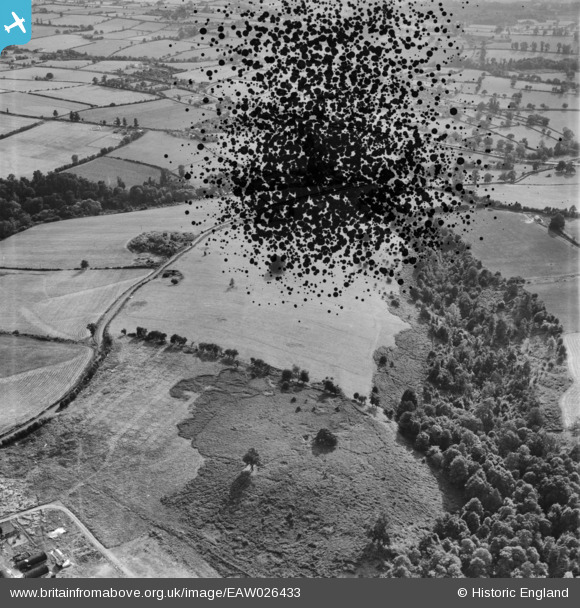
EAW026433 ENGLAND (1949). Coton Dingle, Alveley, 1949. This image has been produced from a damaged negative.
© Copyright OpenStreetMap contributors and licensed by the OpenStreetMap Foundation. 2026. Cartography is licensed as CC BY-SA.
Nearby Images (4)
EAW026433

EAW026431

EAW026432

EAW026434

Details
| Title | [EAW026433] Coton Dingle, Alveley, 1949. This image has been produced from a damaged negative. |
| Reference | EAW026433 |
| Date | 8-September-1949 |
| Link | |
| Place name | ALVELEY |
| Parish | ALVELEY |
| District | |
| Country | ENGLAND |
| Easting / Northing | 377226, 285613 |
| Longitude / Latitude | -2.3352750857309, 52.46760972441 |
| National Grid Reference | SO772856 |
Pins
Be the first to add a comment to this image!