
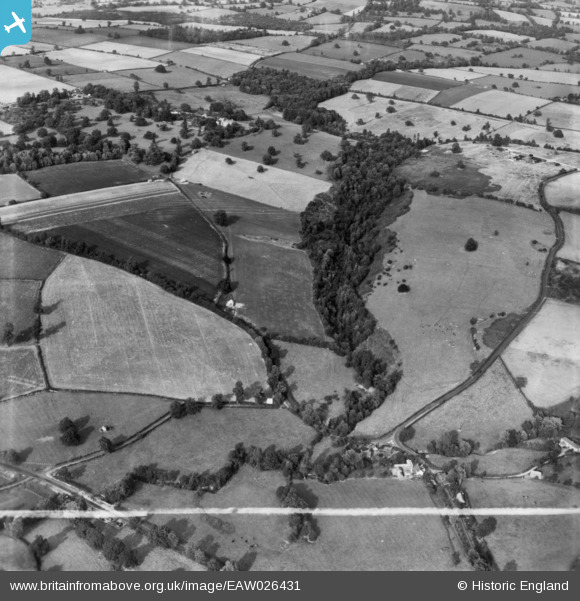
EAW026431 ENGLAND (1949). Fields between Coton Dingle and Coton Hall, Alveley, 1949. This image has been produced from a print marked by Aerofilms Ltd for photo editing.
© Copyright OpenStreetMap contributors and licensed by the OpenStreetMap Foundation. 2026. Cartography is licensed as CC BY-SA.
Nearby Images (4)
EAW026431

EAW026434

EAW026432

EAW026433

Details
| Title | [EAW026431] Fields between Coton Dingle and Coton Hall, Alveley, 1949. This image has been produced from a print marked by Aerofilms Ltd for photo editing. |
| Reference | EAW026431 |
| Date | 8-September-1949 |
| Link | |
| Place name | ALVELEY |
| Parish | ALVELEY |
| District | |
| Country | ENGLAND |
| Easting / Northing | 377063, 285757 |
| Longitude / Latitude | -2.3376846079585, 52.468897584583 |
| National Grid Reference | SO771858 |
Pins
Be the first to add a comment to this image!