
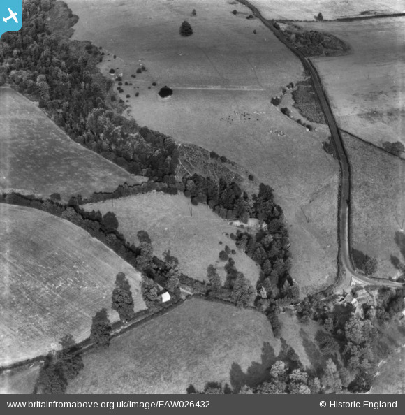
EAW026432 ENGLAND (1949). Coton Dingle, Alveley, 1949. This image has been produced from a print.
© Copyright OpenStreetMap contributors and licensed by the OpenStreetMap Foundation. 2026. Cartography is licensed as CC BY-SA.
Nearby Images (3)
EAW026432

EAW026431

EAW026433

Details
| Title | [EAW026432] Coton Dingle, Alveley, 1949. This image has been produced from a print. |
| Reference | EAW026432 |
| Date | 8-September-1949 |
| Link | |
| Place name | ALVELEY |
| Parish | ALVELEY |
| District | |
| Country | ENGLAND |
| Easting / Northing | 376998, 285598 |
| Longitude / Latitude | -2.3386305659065, 52.46746530117 |
| National Grid Reference | SO770856 |
Pins
Be the first to add a comment to this image!