
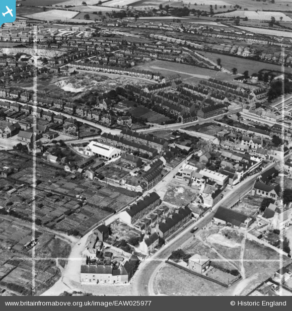
EAW025977 ENGLAND (1949). Grove Street and environs, Mansfield Woodhouse, 1949. This image has been produced from a print marked by Aerofilms Ltd for photo editing.
© Copyright OpenStreetMap contributors and licensed by the OpenStreetMap Foundation. 2026. Cartography is licensed as CC BY-SA.
Nearby Images (7)
EAW025977

EAW025975

EAW025979

EAW025976

EAW025981

EAW025978

EAW025980

Details
| Title | [EAW025977] Grove Street and environs, Mansfield Woodhouse, 1949. This image has been produced from a print marked by Aerofilms Ltd for photo editing. |
| Reference | EAW025977 |
| Date | 13-August-1949 |
| Link | |
| Place name | MANSFIELD WOODHOUSE |
| Parish | |
| District | |
| Country | ENGLAND |
| Easting / Northing | 453721, 363338 |
| Longitude / Latitude | -1.196376832507, 53.164160213351 |
| National Grid Reference | SK537633 |
Pins

Vauni |
Monday 5th of December 2016 04:54:32 PM | |
|
seriesiii |
Friday 27th of February 2015 10:55:40 PM | |
|
seriesiii |
Friday 27th of February 2015 10:53:32 PM |