
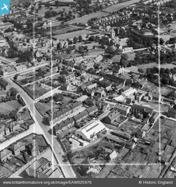
EAW025976 ENGLAND (1949). Oxclose Lane, the N.J. Muschamp and Co Mining Engineering Works and environs, Mansfield Woodhouse, 1949. This image has been produced from a print marked by Aerofilms Ltd for photo editing.
© Copyright OpenStreetMap contributors and licensed by the OpenStreetMap Foundation. 2026. Cartography is licensed as CC BY-SA.
Nearby Images (7)
EAW025976

EAW025981

EAW025977

EAW025975

EAW025979

EAW025978

EAW025980

Details
| Title | [EAW025976] Oxclose Lane, the N.J. Muschamp and Co Mining Engineering Works and environs, Mansfield Woodhouse, 1949. This image has been produced from a print marked by Aerofilms Ltd for photo editing. |
| Reference | EAW025976 |
| Date | 13-August-1949 |
| Link | |
| Place name | MANSFIELD WOODHOUSE |
| Parish | |
| District | |
| Country | ENGLAND |
| Easting / Northing | 453778, 363331 |
| Longitude / Latitude | -1.1955254267354, 53.16409153455 |
| National Grid Reference | SK538633 |
