
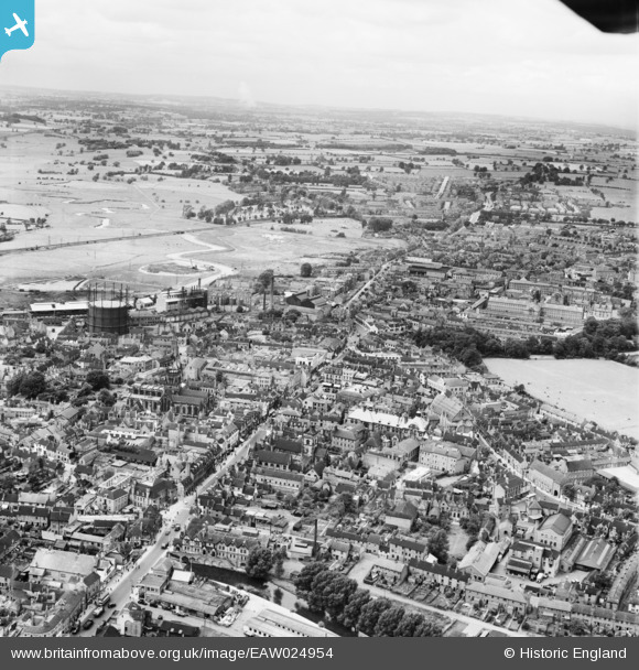
EAW024954 ENGLAND (1949). HM Prison Stafford and the town centre, Stafford, from the south-east, 1949
© Copyright OpenStreetMap contributors and licensed by the OpenStreetMap Foundation. 2026. Cartography is licensed as CC BY-SA.
Nearby Images (14)
EAW024954

EAW024955

EPW014109

EAW024958

EPW014106

EPW053375

EAW001866

EPW014113

EAW001865

EPW053381

EPW053380

EPW034022

EAW001867

EPW020050

Details
| Title | [EAW024954] HM Prison Stafford and the town centre, Stafford, from the south-east, 1949 |
| Reference | EAW024954 |
| Date | 21-July-1949 |
| Link | |
| Place name | STAFFORD |
| Parish | |
| District | |
| Country | ENGLAND |
| Easting / Northing | 392267, 323185 |
| Longitude / Latitude | -2.114725182783, 52.805830533188 |
| National Grid Reference | SJ923232 |
Pins

Phil Bradshaw |
Tuesday 15th of October 2019 09:42:46 PM |
