
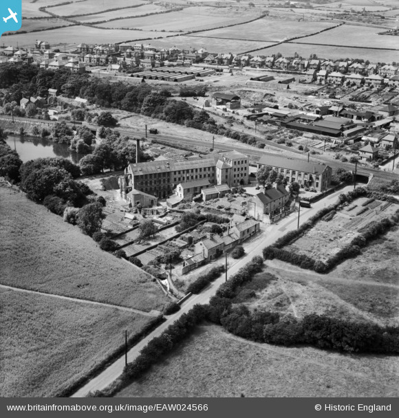
EAW024566 ENGLAND (1949). The Hermitage Hosiery Mill, Mansfield, 1949
© Copyright OpenStreetMap contributors and licensed by the OpenStreetMap Foundation. 2026. Cartography is licensed as CC BY-SA.
Nearby Images (9)
EAW024566

EAW024562

EAW024564

EAW024558

EAW024559

EAW024563

EAW024565

EAW024560

EAW024561

Details
| Title | [EAW024566] The Hermitage Hosiery Mill, Mansfield, 1949 |
| Reference | EAW024566 |
| Date | 8-July-1949 |
| Link | |
| Place name | MANSFIELD |
| Parish | |
| District | |
| Country | ENGLAND |
| Easting / Northing | 452414, 359874 |
| Longitude / Latitude | -1.216493481865, 53.133152088733 |
| National Grid Reference | SK524599 |
Pins

Andrew |
Saturday 17th of June 2017 02:04:26 AM | |
|
Wak |
Saturday 28th of December 2013 07:32:48 PM | |
|
Wak |
Saturday 28th of December 2013 07:23:33 PM |