
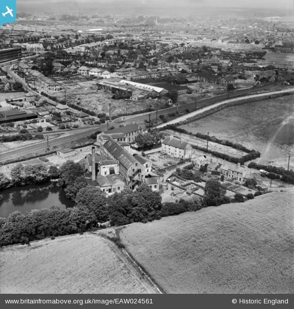
EAW024561 ENGLAND (1949). The Hermitage Hosiery Mill, Mansfield, 1949
© Copyright OpenStreetMap contributors and licensed by the OpenStreetMap Foundation. 2026. Cartography is licensed as CC BY-SA.
Nearby Images (9)
EAW024561

EAW024560

EAW024566

EAW024559

EAW024564

EAW024562

EAW024558

EAW024565

EAW024563

Details
| Title | [EAW024561] The Hermitage Hosiery Mill, Mansfield, 1949 |
| Reference | EAW024561 |
| Date | 8-July-1949 |
| Link | |
| Place name | MANSFIELD |
| Parish | |
| District | |
| Country | ENGLAND |
| Easting / Northing | 452436, 359902 |
| Longitude / Latitude | -1.2161600693909, 53.133401621442 |
| National Grid Reference | SK524599 |
