
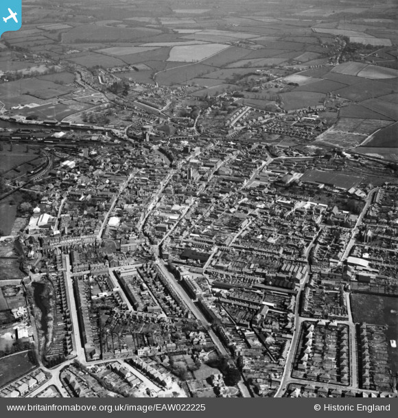
EAW022225 ENGLAND (1949). The town, Newport, 1949
© Copyright OpenStreetMap contributors and licensed by the OpenStreetMap Foundation. 2026. Cartography is licensed as CC BY-SA.
Nearby Images (9)
EAW022225

EPW023021

EAW003000

EPW032330

EPW032333

EPW032329

EPW032334

EPW039660

EAW022224

Details
| Title | [EAW022225] The town, Newport, 1949 |
| Reference | EAW022225 |
| Date | 17-April-1949 |
| Link | |
| Place name | NEWPORT |
| Parish | NEWPORT |
| District | |
| Country | ENGLAND |
| Easting / Northing | 449870, 89066 |
| Longitude / Latitude | -1.2937884159579, 50.698520674946 |
| National Grid Reference | SZ499891 |
Pins
Be the first to add a comment to this image!