
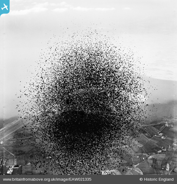
EAW021335 ENGLAND (1949). Northam Burrows (site of), Northam, from the south, 1949. This image has been produced from a damaged negative.
© Copyright OpenStreetMap contributors and licensed by the OpenStreetMap Foundation. 2026. Cartography is licensed as CC BY-SA.
Nearby Images (3)
EAW021335
, Northam, from the south, 1949. This image has been produced from a damaged negative.")
EAW007556

EAW007557

Details
| Title | [EAW021335] Northam Burrows (site of), Northam, from the south, 1949. This image has been produced from a damaged negative. |
| Reference | EAW021335 |
| Date | 9-March-1949 |
| Link | |
| Place name | NORTHAM |
| Parish | NORTHAM |
| District | |
| Country | ENGLAND |
| Easting / Northing | 244521, 129766 |
| Longitude / Latitude | -4.218265124513, 51.045639763558 |
| National Grid Reference | SS445298 |
Pins

Chamossaire |
Friday 20th of December 2013 12:47:20 PM | |
|
Chamossaire |
Friday 20th of December 2013 12:46:41 PM | |

Class31 |
Thursday 19th of December 2013 10:23:54 AM | |
|
Class31 |
Thursday 19th of December 2013 10:19:01 AM | |
|
Class31 |
Thursday 19th of December 2013 10:18:25 AM | |
|
Class31 |
Thursday 19th of December 2013 10:15:42 AM | |
|
Class31 |
Thursday 19th of December 2013 10:12:28 AM | |
|
Class31 |
Thursday 19th of December 2013 10:09:41 AM | |
|
Class31 |
Thursday 19th of December 2013 10:08:21 AM | |
|
Class31 |
Thursday 19th of December 2013 10:04:51 AM | |
|
Class31 |
Thursday 19th of December 2013 10:03:40 AM | |
|
Class31 |
Thursday 19th of December 2013 08:23:47 AM |
User Comment Contributions
Thanks for all the details. We'll update the catalogue and post the new data here in due course. Yours, Katy Britain from Above Cataloguing Team Leader |
Katy Whitaker |
Tuesday 7th of January 2014 04:36:11 PM |
The centre of the photo would be Northam Burrows but, because of damage, we can only see some of the detail. |
Class31 |
Thursday 19th of December 2013 10:06:35 AM |
View is looking north |
Class31 |
Thursday 19th of December 2013 10:04:18 AM |
The adjoining photo EAW021336 was taken on 9th March 1949 and is of The River Torridge between Appledore and Instow, Appledore, from the south-east, 1949. This image has been produced from a damaged negative. |
Class31 |
Thursday 19th of December 2013 08:34:26 AM |
The adjoining photo EAW021334 is taken on the same day 9th March 1949 and is of The village (site of), Yelland, 1949 which is near Fremington in North Devon. The adjoining photo shows similar damage to this photo. |
Class31 |
Thursday 19th of December 2013 08:31:25 AM |