
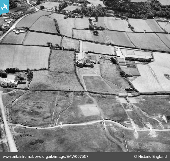
EAW007557 ENGLAND (1947). Royal North Devon Golf Club, Northam, 1947
© Copyright OpenStreetMap contributors and licensed by the OpenStreetMap Foundation. 2026. Cartography is licensed as CC BY-SA.
Nearby Images (3)
EAW007557

EAW007556

EAW021335
, Northam, from the south, 1949. This image has been produced from a damaged negative.")
Details
| Title | [EAW007557] Royal North Devon Golf Club, Northam, 1947 |
| Reference | EAW007557 |
| Date | 25-June-1947 |
| Link | |
| Place name | NORTHAM |
| Parish | NORTHAM |
| District | |
| Country | ENGLAND |
| Easting / Northing | 244323, 129742 |
| Longitude / Latitude | -4.2210774596235, 51.045370457311 |
| National Grid Reference | SS443297 |
Pins
Be the first to add a comment to this image!