
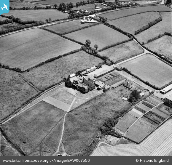
EAW007556 ENGLAND (1947). Royal North Devon Golf Club, Northam, 1947
© Copyright OpenStreetMap contributors and licensed by the OpenStreetMap Foundation. 2026. Cartography is licensed as CC BY-SA.
Nearby Images (3)
EAW007556

EAW007557

EAW021335
, Northam, from the south, 1949. This image has been produced from a damaged negative.")
Details
| Title | [EAW007556] Royal North Devon Golf Club, Northam, 1947 |
| Reference | EAW007556 |
| Date | 25-June-1947 |
| Link | |
| Place name | NORTHAM |
| Parish | NORTHAM |
| District | |
| Country | ENGLAND |
| Easting / Northing | 244350, 129682 |
| Longitude / Latitude | -4.2206667616593, 51.044838587895 |
| National Grid Reference | SS444297 |
Pins

Matt Aldred edob.mattaldred.com |
Monday 9th of February 2026 05:04:32 PM |