
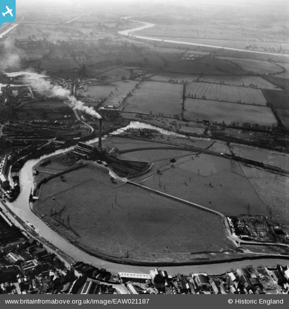
EAW021187 ENGLAND (1949). Castle Meads Power Station and environs, Gloucester, 1949. This image has been produced from a print.
© Copyright OpenStreetMap contributors and licensed by the OpenStreetMap Foundation. 2026. Cartography is licensed as CC BY-SA.
Nearby Images (11)
EAW021187

EPW024157

EAW021184

EAW021189

EAW021181

EAW018728

EAW021183

EPW037837

EAW021185

EAW012210

EAW021186

Details
| Title | [EAW021187] Castle Meads Power Station and environs, Gloucester, 1949. This image has been produced from a print. |
| Reference | EAW021187 |
| Date | 2-March-1949 |
| Link | |
| Place name | GLOUCESTER |
| Parish | |
| District | |
| Country | ENGLAND |
| Easting / Northing | 382310, 218377 |
| Longitude / Latitude | -2.256924698827, 51.863252670766 |
| National Grid Reference | SO823184 |
Pins
 |

Class31 |
Wednesday 3rd of June 2015 08:32:52 PM |